GNC (Global Navigation and Planning Chart)
GNCs are suitable for flight planning, operations over long distances, and enroute navigation in long range, high
altitude, high speed aircraft. Principal cities, towns, drainage, primary roads and railroads, prominent culture, shaded relief, and spot elevations are shown.
GNCは飛行計画を立てたり、超長距離飛行向けで、高高度と高速の飛行機用です。 大きな町などが表示されています。そして一部の標高も描かれています。
Aeronautical
data includes NAVAIDS, airports and restricted areas. GNCs 1 and 26 have a polar navigation grid and charts 2 and 6 have subpolar navigation grids. The sheet
size is 42 by 57-1/2 inches. (Scale 1:5,000,000) NAVAIDsや空港、制限空域も描かれています。 500万分の1です。
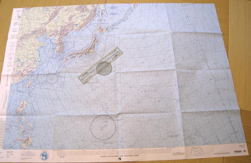
GNCの全体図です。 参考に日本の側にプロッターを置きました。 DODのチャートは全体的に大きいですね。
下にある丸い地域がグアムです。 そして左には日付け変更線が書かれています。右端から15センチぐらいの所にハワイが有ります。
このチャートは GNC-27で台湾から日本を全てカーバーしています。GNC-7だと日本の一部が切り取られますがハワイまでカバーされます。
The design characteristics encompass the information
content required for operations involving extended long
range, highspeed, high altitude aerospace navigation
with secondary considerations given to mission planning
and general briefings. This series also serves as the
base for production of Global LORAN Navigation Charts (GLCC) and Spacecraft Tracking Charts (NST).
このチャートには超長距離、高速、高高度での運行用のデータが含まれて居ます。 またミッションの計画や一般的なブリーフィングにも使われます。 また地球規模のロラン航法図や宇宙船の追跡用のチャートの元にもなっています。
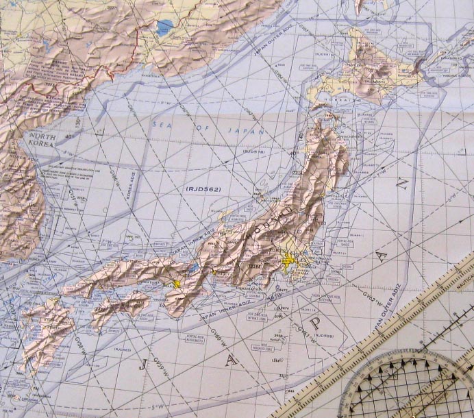
日本の部分を拡大しました。